After 17 years of skiing Hull Mountain, I was finally forced to find another way in. I’ve always wanted to explore approaching the mountain from another road but it’s been just too easy all this time. Boardman Ridge road leads right to the summit but now it’s closed in winter. However, it’s hard to keep a country boy with a jeep out.

A new access road and route for reaching Hull Mountain via Hullaska Ridge.
The main entrance to Hull Mountain, Boardman Ridge, is closed from Dec. 1st until the last day in April. The road opens May 1. Not to worry, there are lots of roads in the area and we found a new way in last week.
Jamie Anzalone (janzalo) and I headed up to Hull on April 11. The goal was to figure out a new access point. We left the Napa Valley around 4pm on Tuesday with a plan to camp out and ski the next day. More importantly we were excited about the challenge of finding a new way up Hull Mountain.
The drive up from Lake Pillsbury is the same. However, at the bottom of Boardman Ridge, instead of veering left, go straight and then drive for 5 miles down Forest Road M6, a.k.a. FR20N01.
Topo maps will tell you the road continues along the Eel river but it doesn’t. Just past the bridge over Rattlesnake Creek the road climbs toward Little Round Mountain. This creek drains the entire south side of Hull. Well, at least the side from Boardman Ridge to Hullaska Ridge.
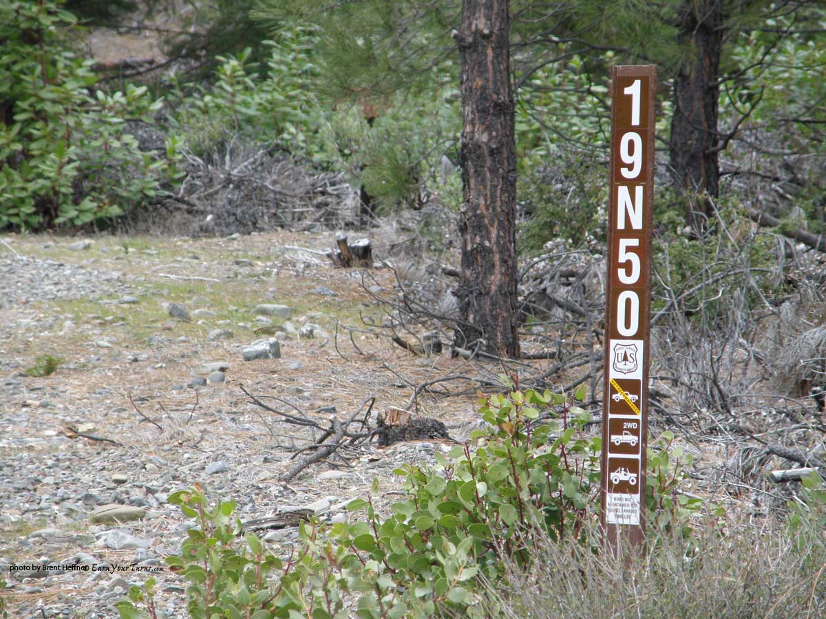
The landmark for turning on to FR19N50
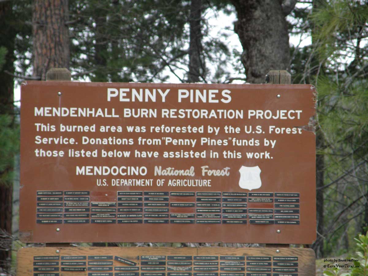
Just about at 3600′, M6 takes a sharp right turn. The next road on the left is FR 19N50. You can’t miss this road, it’s right at a big sign for Penny Pines, and heads up towards the base of Hullaska Ridge and loops around to Horse Ridge and eventually meets back up with M6 farther out. Various other roads branch off it, but the main road is easy to follow. We found that all the other roads are gated.
BTW, M6 is very smooth and well maintained.
The new approach road.
I’ve seen these ridges before. When you stand at the top of Hullafar Bowl and look south, some snow covered roads come snaking up the mountain. I’ve just been too lazy to find another way. Things were about to change…
We headed north to Upper Lake and over Elk Mountain on the way in. Nice and muddy. We were expecting stormy conditions. The snow levels were working in our favor. Dropping from 5500′ on Tuesday down to 4500′ by Wednesday. Nice!
We arrived at FR 19N50 around 7pm. Just before dark. I had drove past this road on my out last week exploring the area in the Jeep. But didn’t have any maps and was running out of time and gas. I remember seeing this road, I had a feeling about it. FR 19N50, Penny Pines…
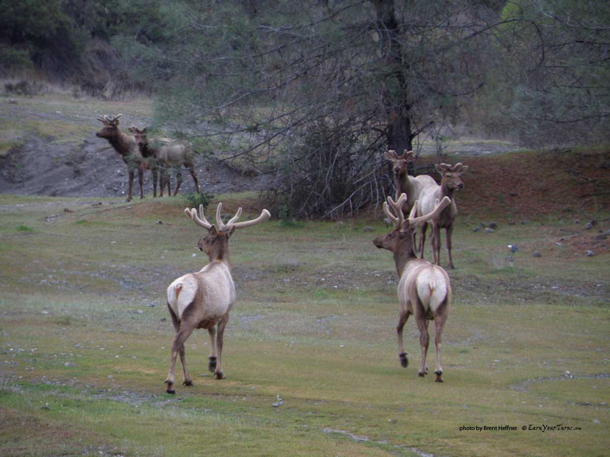
The resident herd of elk down by the river.
We drove for 3.2 miles up FR 19N50. Excellent road, although a bit narrow. The shrubs and manzanita have started to reclaim the sides of the road. Made it in the Jeep to 4800′. Just after that the road goes to facing north. Tried driving into the snow, but got bogged down in 10 inches of super slippery slush and ice. Backed the Jeep up and camped out at the toe-end of a ridge.
It was raining pretty hard. We had driven up FR 19N50 to just past FR 19N50Q. Just as we got there, the rain turned to snow.
After checking the compass, map and Jamie’s gps phone, we set up the tents between periods of warming up in the Jeep. Jamie broke one of his tent poles while setting up his tent, but the tarp seemed to tighten things up. Darkness fell with the snow and we were finally set in for the night.
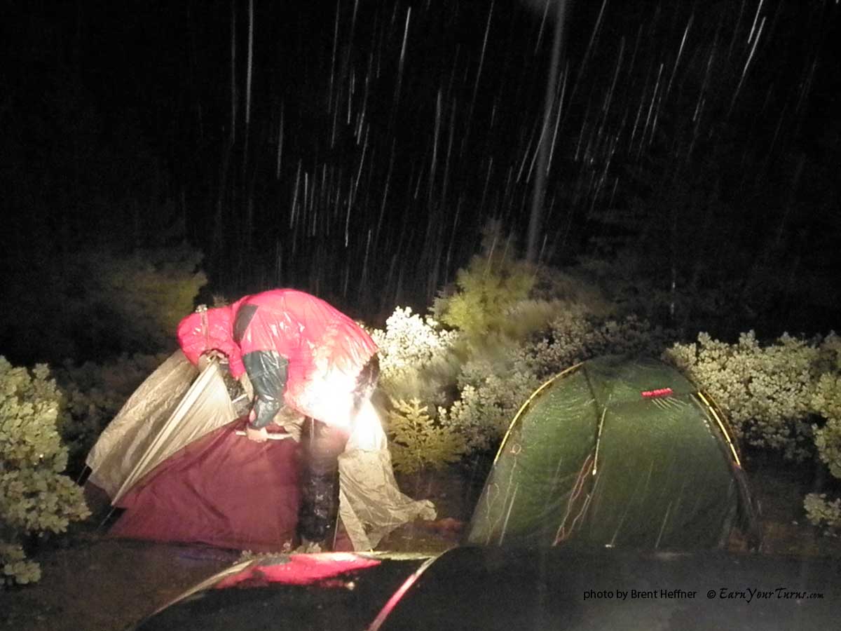
Setting up camp in the rain (while it snows up high).
We had seen a bear on the way in, down on the M6. A big, fat bear. He jumped down from a tree and ran off into the woods. Neither of us could get a camera fast enough. Thoughts of the Hull Bear ran through our heads as we fell asleep to the sound of snow sliding off the tents in the night.
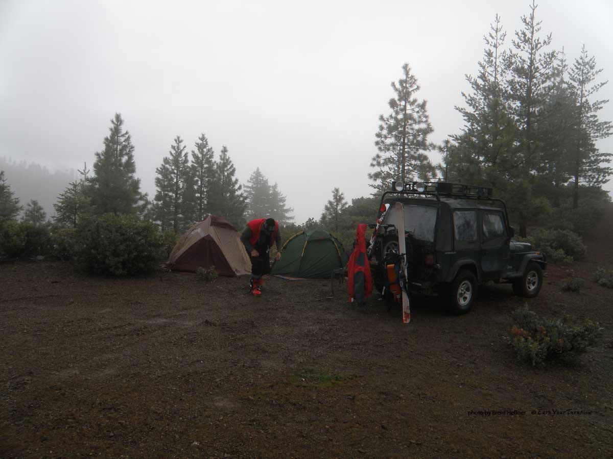
Breaking camp before heading up to ski.
The next morning, we got a break in the precip and prepared to get our jib on. The fog prevented any visuals. A few views of Horse Ridge appeared at times through the dense fog across the gully of Horse Creek.
We were parked at 4800′. The snow levels were predicted to fall from 5500′ on Tuesday to 4500′ overnight and as low as 4000′ on Wednesday. Not much better than rain, but all my Arcteryx outer gear was keeping the moisture at bay.
We thought about heading up the road and hiking straight up towards peak 5620′, but decided for our first time in this area, sticking to the ridge proper would be a good idea. A ton of bushwacking was in our near future. Very little snow down here, and we had no idea how far we would go before we hit skinnable snow.

Snow came quickly on the new route, but not quite enough to skin yet.
With the skis on the packs we headed up the ridge. Doing this in the dark would have been a nightmare. We had the ridge to follow, which eventually connected with Hullaska Ridge, so we didn’t have to rely on a compass bearing. Weaving our way through the manzanita, we hiked up the ridge. For two hours. We finally got to the summit of peak 5620′. A quick check of the map, compass and our elevation confirmed our position. We were looking up at the base of Hullaska Ridge.

The view from Peak 5620'

Looking back down the ridge.
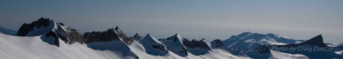
I knew we were close. It was exciting to be at Hull, especially with this new approach. FR 19N50 doesn’t go to the summit, but it accesses the south-eastern portion of the mountain. We were on a ridge system that leads to Hullaska Ridge. Instead of heading to the summit, this new route tops out right at Hullafar Bowl. OB Bowl, Grey Bowl, The Hully Gullies, The Shaft, The Rock Chutes, The Hullback Chutes and more are all closer now. The summit lies about a half mile to the west.
The Boardman Ridge approach leads directly to the summit accessing Rabbit Ridge, Porcupine Ridge, Sundream Bowl, Swallowed Hull Couloir, Hullavator Ridge, Hullawest Ridge, The West Chutes and the West Face.
Check this link for a Google Earth map of all the runs.
https://www.sonomawings.com/ge/ski-hull.kmz
After kicking back for a few, we finally got a visual. The only one of the day. The Hully Gullies with OB Bowl dropping off on the right. Grey Bowl can be seen on the left with the top buried in the clouds.

The Hully Gullies.
With this inspiration, we jibbed on. We hiked down to the base of Hullaska Ridge and on up the broad ridge. The snow soon got deep and we were post holing and getting manzanited. Time for the skis. The snow was too frozen and icy for the scales on my Rossignol BC 110’s, so I went to skins. Now on our skis, we cruised over the top of the snow and around all the shrubs and short trees. About 1-3 feet of snow here. Looked skiable for the trip back down.
The Descent on the next page »
Pages:
- 1
- 2
Recent Comments